The conference program
Sections and topics:
|
Plenary session
|
Theme: Science, education and production: development problems
|
|
Geodesy section
|
1. Remote geodetic methods: aerial photography and scanning; remote sensing; ground-based mobile scanning;
2. Hardware and methods for geodetic measurements processing: geodetic instruments, GNSS, mathematical processing of geodetic measurements, software;
3. Applied geodesy, engineering and mining surveying; deformation monitoring; industrial geodesy. In the framework of the section there will be a seminar dedicated to the 100th anniversary of the birth of Dr. Sci. Tech., Professor V.G. Zdanovich’s.
|
|
Cartography section
|
1. The development of modern cartography theory. Advanced methods and technology of cartography;
2. Mapping in the interests of sectoral and regional development;
3. Historical and cartographic researches, cartographic heritage objects.
|
|
Geoinformatics section
|
1. Open source GIS software;
2. GIS and Web;
3. Multidisciplinary studies with application of GIS.
|
|
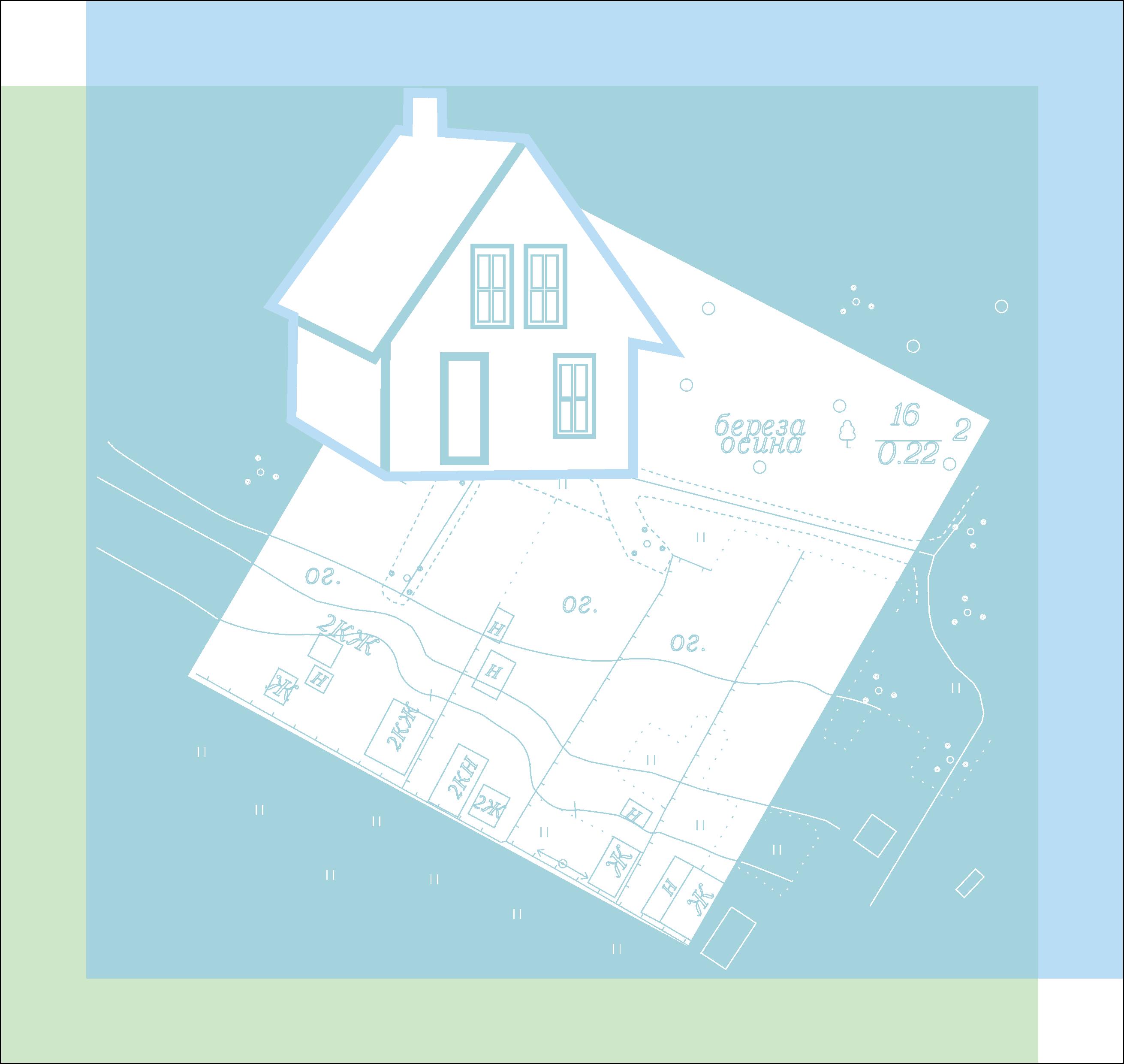
Cadastre section
|
1. Comprehensive cadastral works;
2. Conversion of land from one category to another;
3. Real estate valuation.
|
|
Folow the news on Twitter:
|